Kvalitní cestovní pojištění
do zahraničí i do ČR.
Cestovní pojištění jednoduše, rychle a online na Top-Pojištění.cz s okamžitou platností a se slevou až 50 %.
Nejlevnější cestovní pojištění
na celý rok už od jediné koruny na den.


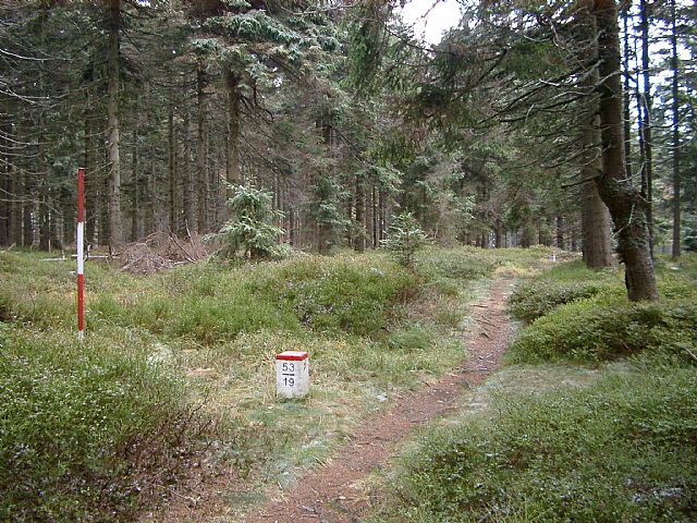
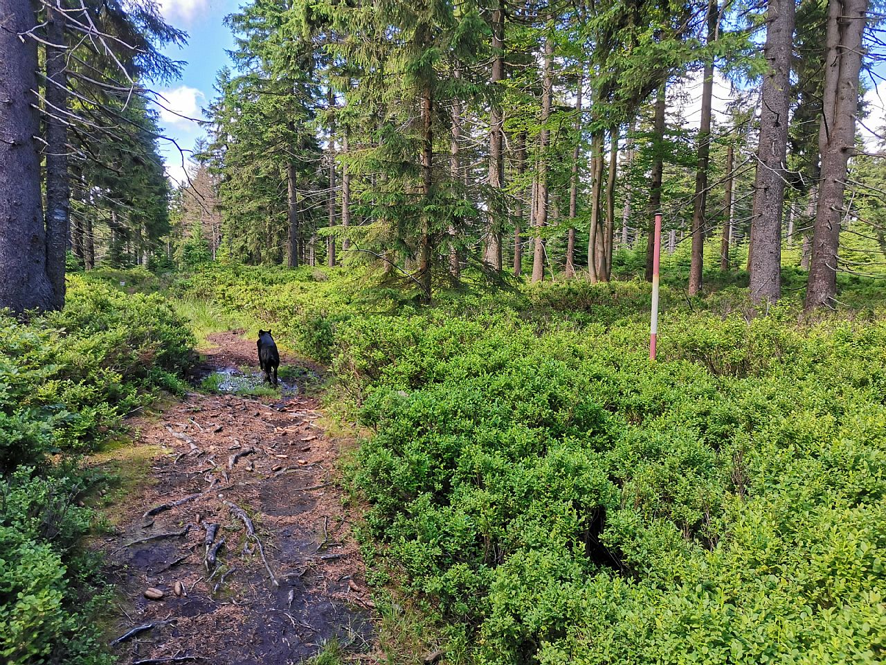
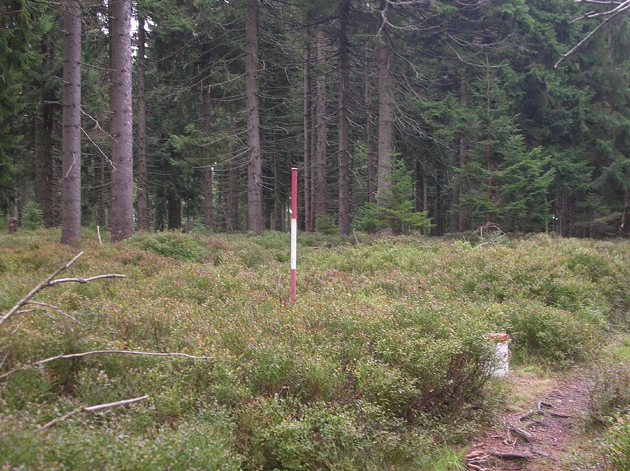
U červeného kříže (VV 256a; 1026 m)
U červeného kříže: Mountaintop photos | Add photo | Add information
Renáta Šašková (October 2003)
Locality: Unit: IVC-5 Rychlebské hory; subunit: IVC-5A Hornolipovská hornatina; district: IVC-5A-2 Velkovrbenské rozsochy; subdistrict: IVC-5A-2a Kunčické rozsochy
Geographical coordinates:
WGS-84: 50°13´49˝ N, 16°58´01˝ E;
S-42: 5568450 X, 3640470 Y
Maps: ZM 1:10 000 /14-21-25; SHOCart /58; KČT /53
Relevant main thousand: Kunčický hřbet (HLV 256; 1053 m)
Note: VV Kunčického hřbetu
Actual mountaintop informations
Pavel Blazek (June 2024)
Ivan Bohuslav (September 2017)
Ivan Bohuslav (September 2017)
There are no photos of this top. Please insert the first one.
Actual mountaintop informations
There is no current news available. Please insert the first one.